

Thermal Eyes Above the Flames
DJI thermal drones give fire departments real-time situational awareness at structure fires, wildfire incidents, and search and rescue operations — improving crew safety and operational effectiveness.
Fire Service Drone Applications
Wildfire Mapping & Strategy
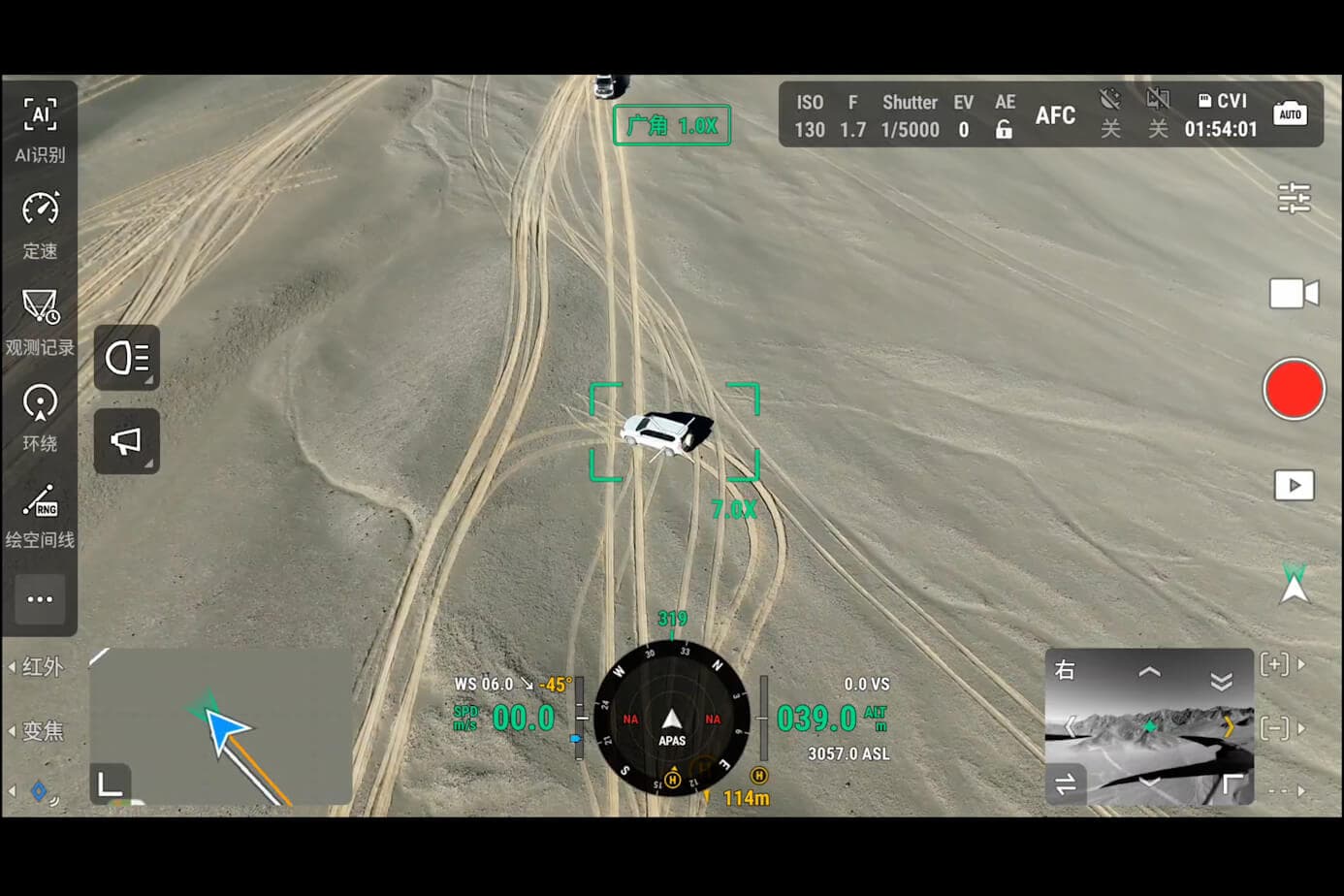
Aerial thermal mapping of wildfire perimeters, active head locations, and spot fire threats. Maps generated in-flight and shared with Incident Command in real time. DJI Matrice 4T thermal penetrates smoke at altitude, identifying hotspots invisible from ground.
Structure Fire Tactical Overwatch
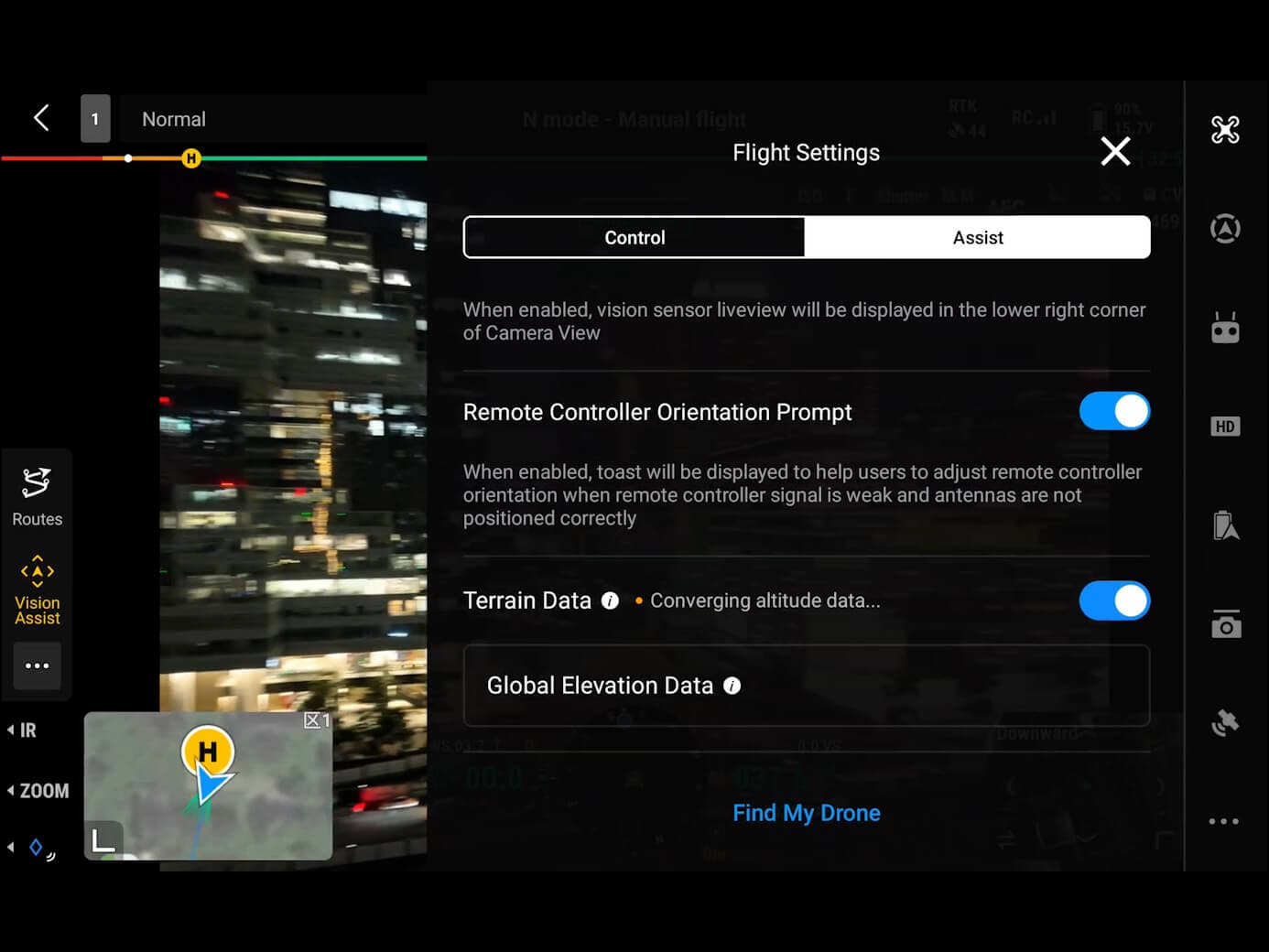
Thermal imaging through smoke shows crew locations, fire spread patterns, and victim positions inside structures. Officers command from the drone feed while crews operate with improved safety margins.
Search & Rescue After Fire
Post-fire thermal scans of collapsed structures and burned areas for victim location. Night operations are particularly effective — body heat signatures contrast sharply against cool structural debris.
Hazardous Materials Incident
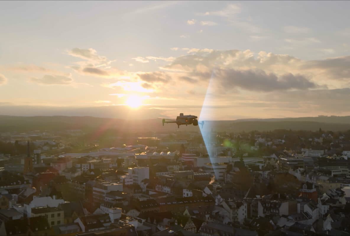
Approach hazmat scenes at safe distance. Thermal drones detect chemical reactions, heat signatures from unknown containers, and personnel exposure risks without sending responders into the hot zone.
Why Fire Departments Choose Aerial Thermal
Recommended Fire Service Platform
DJI Matrice 4T
Thermal + 4K visible · 50-min flight · IP54 · AI detection · 2km laser rangefinder
Request a fire service drone demonstration
NOVVX arranges live demonstrations of DJI Matrice 4T and Mavic 3T at your firehouse or incident command training. Our team understands fire service operations and FAA requirements for emergency response.
Schedule Fire Service Demo