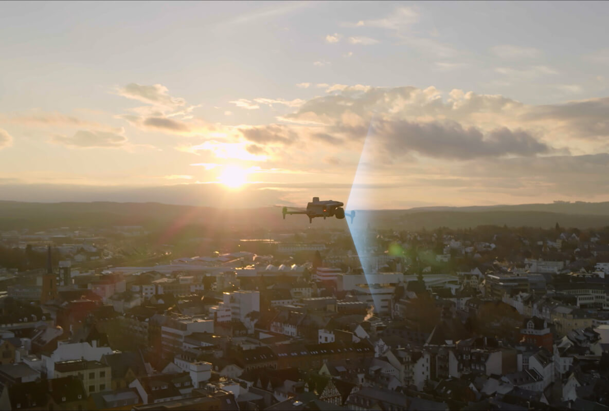
Power the Grid. Protect the Crew.
DJI enterprise drones with thermal and visual payloads provide a safer, faster, and more accurate alternative to manual utility inspection — from transmission towers to utility-scale solar farms.
Energy Applications
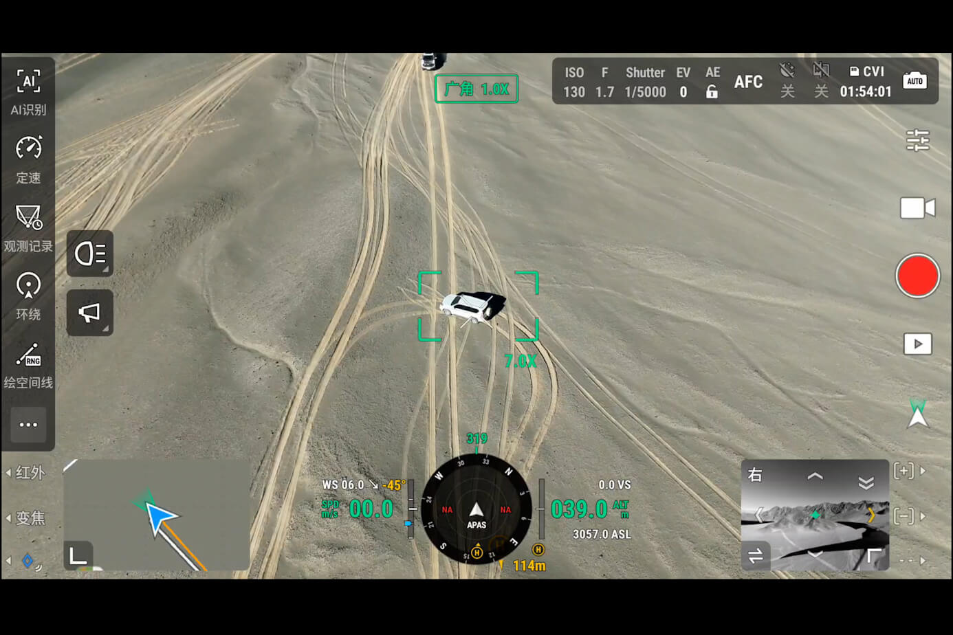
Transmission Line Inspection
Inspect high-voltage transmission lines, towers, and conductors with thermal and visual payloads. Detect hotspot failures, corrosion, and vegetation encroachments from a safe distance without de-energizing lines.
Utility-Scale Solar Audits
Thermal imaging reveals dead cells, hotspot failures, and soiling across utility-scale solar arrays — covering the entire site in a single flight rather than hand-held thermal surveys.
Wind Turbine Survey
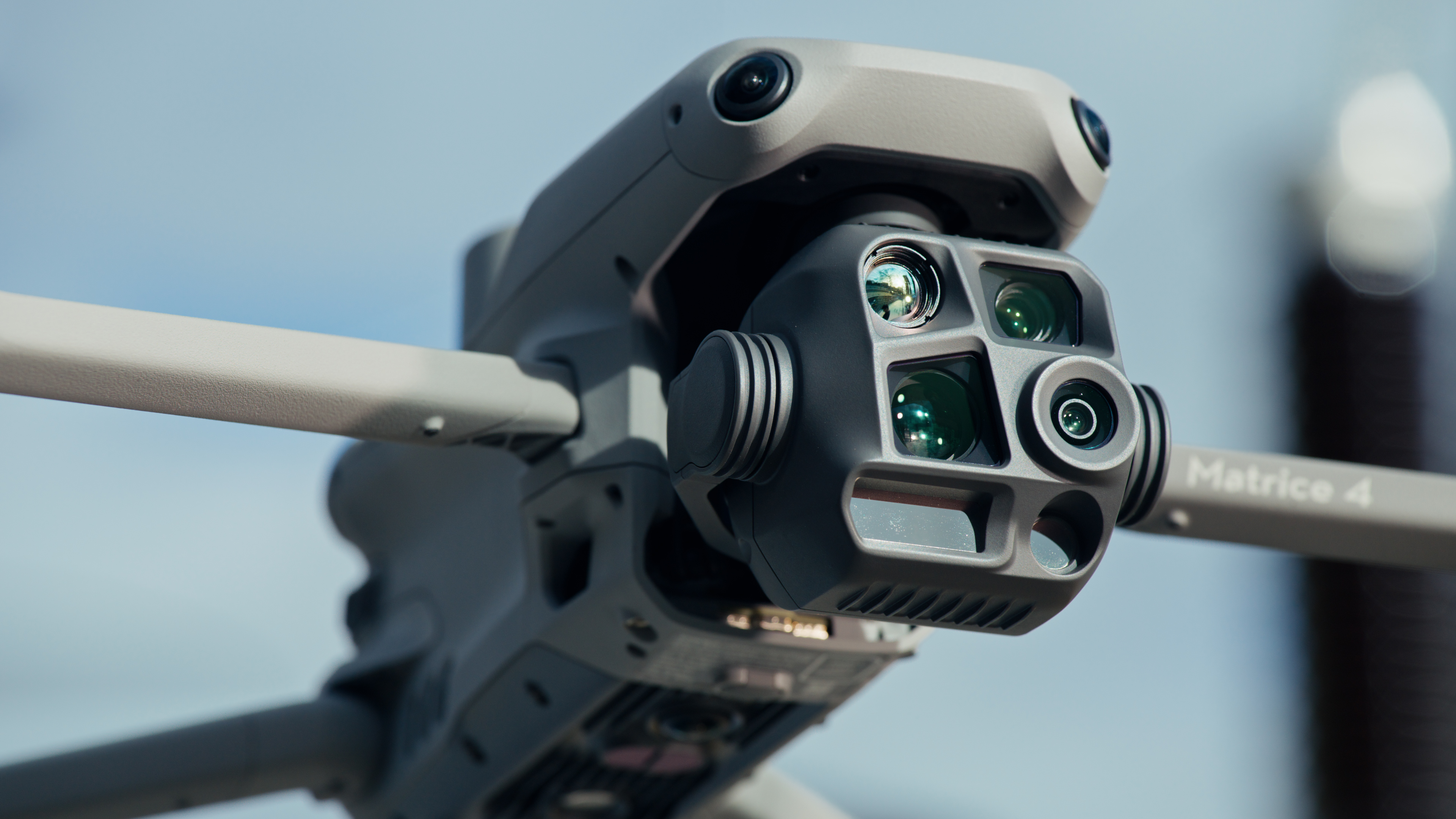
Close-range blade inspection without climbers or cranes. The H30T NIR laser and 4K visible camera capture leading-edge erosion, lightning damage, and structural cracks at every altitude.
Substation & Grid Monitoring
Routine substation monitoring for vegetation encroachment, equipment overheating, and security threats. Schedule automated missions with DJI FlightHub 2 cloud management.
Recommended Platforms
All DJI platforms ship with full manufacturer warranty and expert support from NOVYX.
Energy Inspection Case Studies
Real-world results from utility-scale and infrastructure operations.
500 MW Solar Farm, Texas Panhandle
Thermal drone inspection identified 847 underperforming panels across 400 acres. Repairs recovered an estimated 180 MWh annually — $18,000/year in recovered revenue.
“Single 4-hour flight, post-processed in DJI Terra, GPS-tagged anomaly report delivered to field crew within 24 hours.”
345 kV Transmission Line, Midwest Utility
Quarterly inspection program using Matrice 4T: 620 towers, 180 miles of line. Reduced inspection cost from $85/tower (helicopter) to $12/tower (drone).
“Drone team of 2 operators + 4 batteries, full coverage in 3 days vs. 3 weeks with traditional methods.”
Wind Farm, Oklahoma
H30T blade inspection program — 120 turbines, quarterly. Captured leading-edge erosion, lightning damage, and delamination at every altitude without climbers.
“Single blade inspection by technician + drone takes 15 minutes vs. 4 hours with rope access + crane.”
Why Choose Aerial Utility Inspection?
Ready to upgrade your utility inspection program?
Schedule a live demo of DJI Matrice 4T and H30T inspection platforms at your facility. We'll tailor the demo to your specific asset types.
Request Energy Demo