
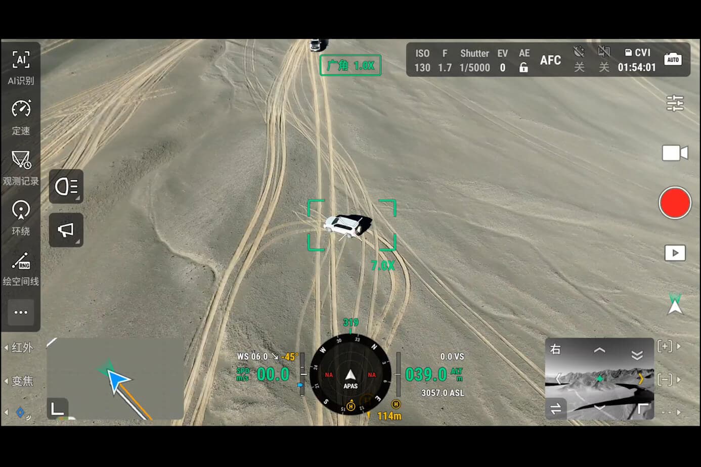
Utility-scale solar farms covering hundreds or thousands of acres require a different inspection approach than rooftop systems. Manual thermal surveys with handheld cameras are impractical at this scale — drone-based thermal inspection is now the industry standard.
Why Thermal Imaging for Solar Panels?

Defective solar cells and panels typically show thermal anomalies: hot spots from cell cracks, shorted bypass diodes, or grounding faults. These defects reduce output efficiency and, if left unchecked, can propagate to adjacent panels. Thermal drones detect these anomalies from the air in a fraction of the time ground crews require.
Benefits of aerial thermal inspection:
- Entire site covered in a single flight session
- Consistent, repeatable data for annual comparison
- No need to walk between panel rows (safety, speed)
- Georeferenced anomaly location for targeted maintenance
Thermal Camera Specs That Matter
Not all thermal cameras are suitable for solar inspection. Key specifications:
Resolution
A 640×512 sensor provides 327,680 pixels of temperature data — enough to identify individual panel anomalies at 100m altitude. A 320×256 sensor will struggle at the same altitude. The DJI H30T and Matrice 4T both carry 640×512 sensors.
Radiometric vs. Non-Radiometric
Radiometric thermal cameras measure and record absolute temperature for each pixel. Non-radiometric cameras display thermal contrast but can't tell you the exact temperature. For solar inspection, radiometric is essential — you need temperature thresholds to prioritize repair urgency.
Digital Zoom
Higher zoom on the thermal channel lets inspectors examine individual panels without descending to low altitude. 4× thermal zoom (DJI H30T and Matrice 4T) allows detailed panel inspection at 100-150m altitude.
NIR Laser
Some thermal payloads include a NIR laser rangefinder that marks the exact GPS coordinates of anomalies. This is critical for large sites where maintaining visual contact with a specific panel is difficult.
Best Drone Platforms for Solar Inspection
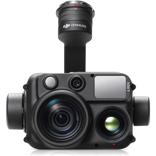
DJI H30T — The most capable solar inspection payload on the market. 640×512 thermal, 4× digital zoom, NIR laser rangefinder, IP54 rating. Compatible with Matrice 3 and Matrice 4 platforms.
DJI Matrice 4T — All-in-one thermal + visible imaging platform. The visible camera at 48MP provides high-resolution panel imagery simultaneously with thermal data, giving maintenance crews both perspectives.
DJI Mavic 3T — For smaller solar installations (under 10 acres) where portability matters. 45-minute flight time, 640×512 thermal, folds to fit in a standard equipment bag.
Flight Planning Best Practices
- Altitude: 50-150m depending on array spacing and camera resolution
- Overlap: 80% front overlap, 70% side overlap for complete coverage
- Time of day: Early morning or late afternoon when panels are at a consistent temperature differential vs. ambient — avoid midday peak sun when temperature differences even out
- Weather: Clear skies, low wind (<20mph), no precipitation
- Flight software: DJI Pilot 2 automated mission planning or third-party platforms like UgCS, Skye
Data Processing: From Thermal Images to Repair Reports
Raw thermal imagery requires processing to generate actionable reports. Options include:
- DJI Terra — basic thermal analysis and reporting
- Pix4D Thermal — photogrammetric processing with thermal orthomosaics
- FLIR Thermal Studio — radiometric analysis and professional reporting
- Solarcam AI — purpose-built solar inspection analysis with automatic anomaly classification
NOVYX offers solar inspection packages that include hardware, flight planning consultation, and recommended software workflows based on your asset management system.
Budget Considerations
Drone thermal inspection costs $50-200 per acre at commercial rates — compared to $500-2,000 per acre for rope-access manual surveys. For a 100-acre solar farm, that's $5,000-20,000 for an annual drone inspection vs. $50,000-200,000 for manual methods. The ROI calculation favors drone inspection in nearly every scenario.