
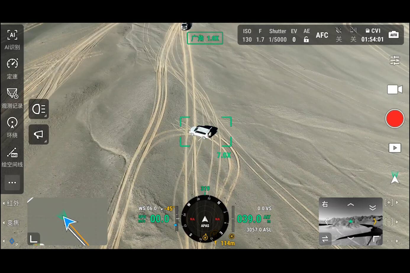
Duke Energy inspects over 200,000 miles of distribution and transmission lines. Until recently, doing a thermal inspection of those assets meant either flying a helicopter at $1,500 to $3,000 per flight hour, or sending crews in bucket trucks that require traffic control, lane closures, and significant setup time. A thermal drone does the same work for roughly $75 to $150 per inspection day.
That cost differential alone explains why thermal drone inspection has moved from experimental to standard practice across the US utility sector in under five years. But the story is more nuanced than just cost savings — there are specific scenarios where thermal drones dramatically outperform alternatives, and scenarios where they do not.
What Thermal Actually Detects — and What It Misses
A thermal camera measures surface temperature. It does not see through surfaces, and it does not diagnose the cause of a temperature anomaly — it identifies where the temperature is abnormal, which is different.
The most operationally valuable capability: thermal cameras detect the heat signature of loose electrical connections. A loose bolted connection on a transformer generates resistance, which generates heat, which shows up as a hotspot in thermal imagery days or weeks before the connection fails. Finding that hotspot from the air, before failure, is the core value proposition of thermal drone inspection for electrical utilities.
Thermal does not replace a visual inspection. A thermal camera cannot tell you *why* a hotspot exists — a corroded bushing, a failed insulator, or a loose connection each produce different thermal signatures, and experience matters enormously in interpretation.
For solar farms, thermal drones detect individual failed or underperforming cells. A 100MW utility-scale solar farm can lose 2-5% of its rated output to cell-level failures that are invisible in standard imagery. A thermal survey finds them in hours.
For building envelopes, thermal detects moisture intrusion in walls, failed insulation, and air leakage — issues that typically cost $3,000 to $15,000 per incident when they cause mold or structural damage inside occupied buildings. Getting ahead of those failures with a $500 drone survey is the calculation property managers are making.
The 640×512 Line: Why Resolution Actually Matters for Inspection Work
You will see thermal cameras marketed at both 640×512 and 320×256 resolution. The resolution difference is not just about image clarity — it directly determines what you can identify from a given altitude.
At 100 meters above ground level, a 640×512 sensor resolves individual components on a power pole: individual insulators, conductor bundles, and hardware. A 320×256 sensor at the same altitude produces imagery where those same components blur together. You might detect that something is wrong, but you cannot identify what.
For professional inspection work — where the deliverable is a report that specifies which component on which pole needs to be addressed — the 640×512 resolution is not optional. It is the minimum viable specification.
Radiometric vs. Non-Radiometric: One Specification That Separates Professional from Consumer
Every thermal camera shows hot and cold contrast. Not every thermal camera measures absolute temperature.
A radiometric thermal sensor records a precise temperature value for every pixel in the image. This has three practical consequences:
First, you can set temperature thresholds — say, flagging any connection exceeding 80°C above ambient — and automatically generate reports that identify which anomalies meet the threshold. Non-radiometric cameras require manual review of every image.
Second, radiometric data is auditable. When you are presenting findings to a utility engineering team or using inspection data in an insurance claim, having timestamped temperature values matters. A non-radiometric camera shows you a hot spot; a radiometric camera shows you the hot spot and documents that it was 97°C at 2:43 PM on March 14.
Third, some inspection standards — including EPRI's thermal inspection protocols used by major US utilities — require radiometric data for compliance reporting.
The DJI H30T and Matrice 4T both carry radiometric sensors. The Mavic 3T also carries radiometric thermal. If you are doing regulated inspection work, radiometric is not a nice-to-have — it is the baseline.
Three Platforms, Three Inspection Profiles

The thermal drone market for infrastructure inspection clusters into three distinct operational profiles:
The utility-scale inspector: DJI H30T on Matrice 350 RTK
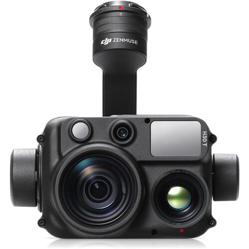
The H30T is the payload that serious utility inspection programs standardize on. The 2,000-meter laser rangefinder gives you GPS coordinates of every anomaly — a critical capability when your crew needs to find a specific insulator on a 345kV transmission line three days after the survey. The 45fps thermal refresh rate matters for transmission line inspection because the lines themselves can create motion blur in slower cameras at high altitude.
The Matrice 350 RTK's IP55 rating and 55-minute flight time mean it operates reliably in the weather windows that matter for utilities — early morning surveys in the summer, and in conditions where lighter drones cannot fly. This is the platform Duke, AEP, and similar operators are standardizing on.
The all-in-one field inspector: DJI Matrice 4T
For firms doing varied inspection work — solar one week, cell towers the next, building envelopes the week after — the Matrice 4T's integrated thermal + 48MP visible camera is operationally simpler than swapping payloads. You get both datasets simultaneously without a payload change in the field.
The 50-minute flight time and IP54 rating make it a true field instrument: it flies in conditions that sideline consumer-grade drones, and the 2km laser rangefinder provides GPS anomaly marking for non-utility clients who expect it.
The rapid-deployment inspector: DJI Mavic 3T
Roofing consultants, building envelope engineers, and residential solar installers often need to deploy from a service vehicle, survey 8-12 sites per day, and be back in the office by evening. The Mavic 3T is built for this workflow: sub-920g, fits in a backpack, 45-minute flight time, and 640×512 radiometric thermal.
The IP53 rating is the Mavic 3T's practical limitation — it handles light rain but is not an all-weather platform. For roof inspections in dry conditions, this is not a constraint.
Building an Inspection Data Workflow That Your Clients Will Actually Use
The thermal inspection market has a well-known failure mode: companies that collect excellent thermal data but deliver PDFs that no one reads. The inspection report is where professional inspection companies differentiate themselves from operators with a camera.
A useful inspection deliverable includes:
- Georeferenced thermal maps — the client can click an anomaly in the report and see exactly where it is located in the field
- Comparison imagery — thermal image overlaid on visible imagery so maintenance crews know what they are looking for
- Temperature delta data — how much the anomaly exceeds ambient temperature, not just absolute temperature
- Prioritized anomaly list — sorted by severity, with industry-standard severity thresholds clearly stated
NOVYX provides processing software consultation and training for inspection teams building or expanding their data workflows.