
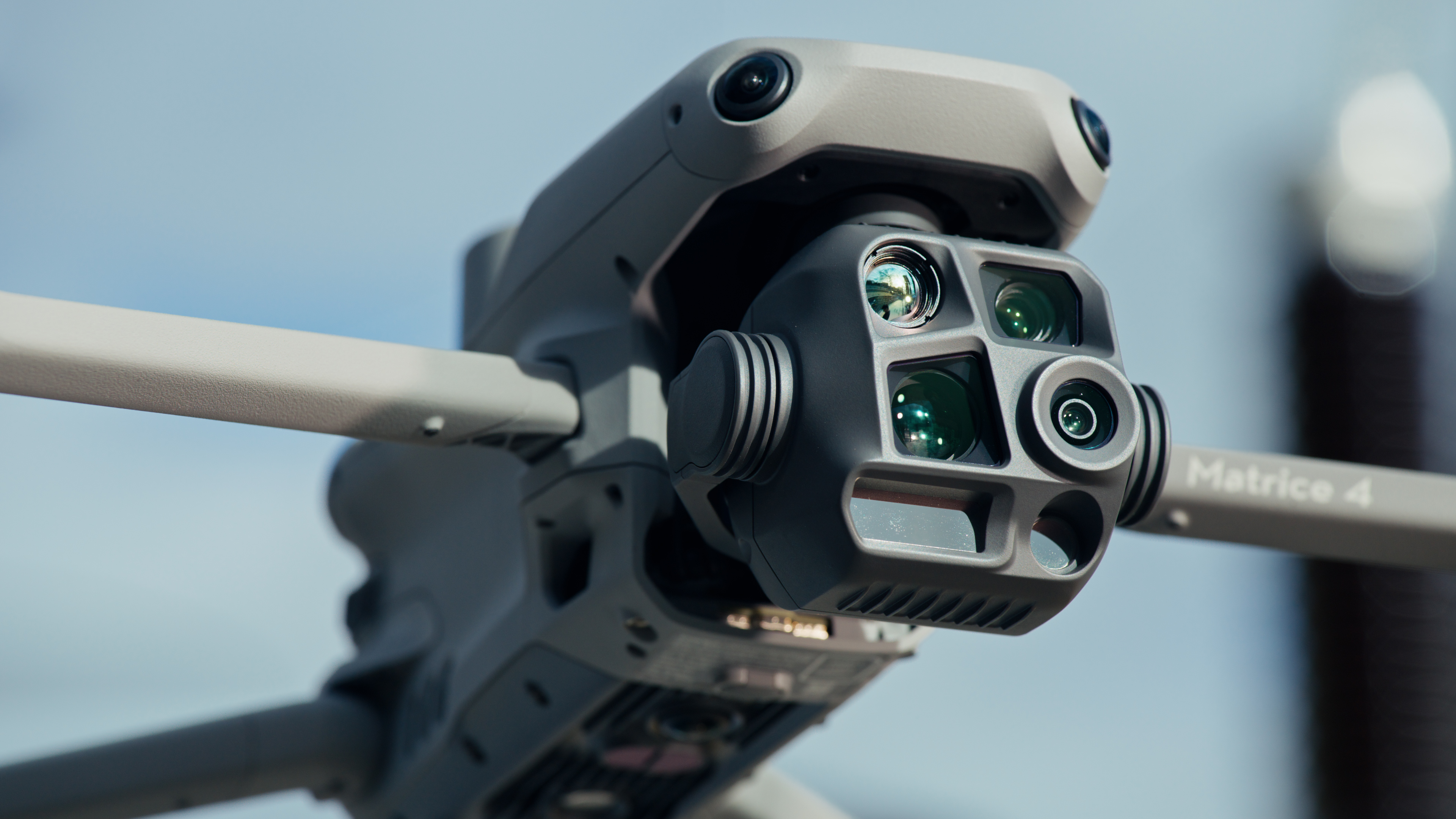
LiDAR drone surveying has fundamentally changed how geospatial professionals approach topographic surveys, volumetric analysis, and 3D modeling in the United States. By mounting LiDAR sensors on DJI Matrice platforms, surveyors capture millions of data points per second — including terrain beneath vegetation — in a fraction of the time required by traditional ground-based methods.
How LiDAR Drone Surveying Works
LiDAR (Light Detection and Ranging) works by emitting rapid laser pulses toward the ground and measuring the time it takes for each pulse to return. Modern aerial LiDAR systems capture:
- First return data — top of canopy, buildings, and structures
- Last return data — ground surface even under vegetation
- Full return data — multiple returns per pulse for detailed vegetation penetration
- Intensity data — reflects material properties of surveyed surfaces
The result is a dense, georeferenced point cloud with centimeter-level accuracy when processed with RTK or PPK positioning data.
DJI Zenmuse L3 — The Standard for Aerial LiDAR
The Zenmuse L3 is the most widely deployed aerial LiDAR sensor for US surveyors:
- 90m max altitude above ground level for survey-grade accuracy
- 600m range for corridor and wide-area surveys
- 240,000 points/second capture rate
- Dual return — first and last return for ground + canopy separation
- RGB camera — 20MP imagery co-registered with point cloud
- Lightweight — 930g, compatible with DJI Matrice 350 RTK
- IP54 rating — operates in light rain and dust
Compatible platforms: DJI Matrice 350 RTK (primary), DJI Matrice 300 RTK (with adapter)
DJI Zenmuse L3E — Enhanced Accuracy Edition
The L3E adds enhanced specifications for survey-grade applications:
- Higher pulse rate — 320,000 points/second for denser point clouds
- Improved ranging accuracy — 1cm RMS accuracy at 50m altitude
- Multi-swath mode — wider effective swath width for faster corridor surveys
Survey Workflow with DJI Matrice + Zenmuse L3
Planning Phase
Use DJI Pilot 2 or third-party mission planning software (UgCS, DJI Terra) to:
- Define survey area boundaries
- Set flight altitude (typically 50-100m AGL for LiDAR)
- Configure overlap settings (typically 60% side overlap, 80% front overlap)
- Plan RTK base station placement for ground control
Field Data Collection
- Deploy RTK base station at known control point
- Conduct automated LiDAR survey mission
- Download raw LiDAR data and RTK positioning data
- Verify point density and coverage in the field
Point Cloud Processing
Process raw data with:
- DJI Terra — DJI's native LiDAR processing software, produces point clouds, digital terrain models, and orthomosaics
- GeoCue LP360 — professional LiDAR processing with advanced classification tools
- Pix4D Scanner — photogrammetric + LiDAR processing pipeline
Deliverables
Typical survey deliverables from LiDAR drone missions:
- Classified point cloud (ground, vegetation, buildings, noise)
- Digital Terrain Model (DTM) — bare earth elevation model
- Digital Surface Model (DSM) — top of vegetation/structures
- Contour lines at specified interval (1ft, 2ft, 5ft)
- 3D mesh or CAD-ready model
- Orthomosaic (from co-registered RGB imagery)
LiDAR vs. Photogrammetry: When to Choose Each
| Requirement | LiDAR (L3/L3E) | Photogrammetry (P1/RTK Mavic) |
|---|---|---|
| Ground beneath dense canopy | Excellent | Poor |
| Survey-grade vertical accuracy | 1-2cm | 2-5cm (limited by GPS) |
| Cost per survey | Higher (hardware investment) | Lower |
| Point density | Very high | High |
| RGB imagery quality | Good (20MP) | Excellent (45-60MP) |
| Best for | Complex terrain, forestry, utility corridors | Open terrain, urban, infrastructure mapping |
US Surveying Market Context
Aerial LiDAR surveying is now the dominant method for:
- DOT and transportation surveys — state DOTs across the US have adopted LiDAR drone surveys as standard for highway design
- Utility corridor mapping — power line, pipeline, and railway right-of-way surveys
- Mining and quarry volumetric analysis — comparing surveys over time to track material movement
- Forestry inventory — combining LiDAR with multispectral data for comprehensive forest management
NOVYX offers LiDAR survey packages including Matrice 350 RTK, Zenmuse L3 or L3E, DJI Terra, and on-site training for geospatial professionals transitioning to drone-based LiDAR surveying.