

The DJI Matrice 4 series is the most capable enterprise drone platform DJI has ever produced. Both the 4T and 4E fly the same redesigned airframe — 50 minutes, IP54, omnidirectional sensing, AI tracking, O4 Enterprise transmission. The airframe decision is made. What you are really choosing is the sensor.
That is a deceptively simple way to frame it, because the sensor choice is not just about specifications — it is about which operational problems your agency actually solves, and who on your team is interpreting the data.
The thermal vs. mapping decision is ultimately a question about your team's primary mission. Thermal is for time-critical decisions made in the field. Mapping is for planning decisions made in the office. Know which one you are before you spec the platform.
Shared Platform: What You Get Either Way
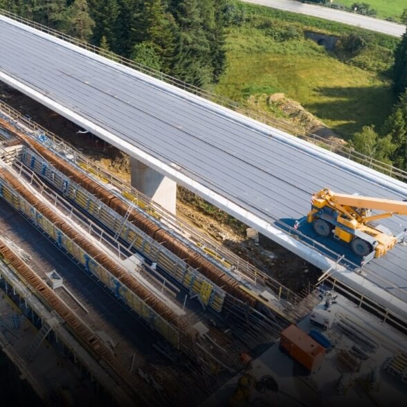
The Matrice 4 redesign delivers meaningful improvements over the Matrice 300 series across every metric that matters operationally:
- 50-minute flight time — up from 43 minutes on the M300 RTK; matters when you are covering large search areas or long inspection corridors
- IP54 dust and water resistance — operates in conditions that ground out Mavic-class platforms
- Foldable under 1kg with battery — the Matrice 4 is genuinely portable in a hard case in a patrol vehicle, which was not true of the Matrice 300
- O4 Enterprise transmission — 12km range with 1080p live feed; a meaningful upgrade from the OcuSync Enterprise link
- AI-powered subject detection — detects and tracks people and vehicles autonomously, which reduces pilot workload during dynamic situations
The airframe is not a compromise. The question is what you are putting on it.
DJI Matrice 4T: Built for Time-Critical Field Decisions
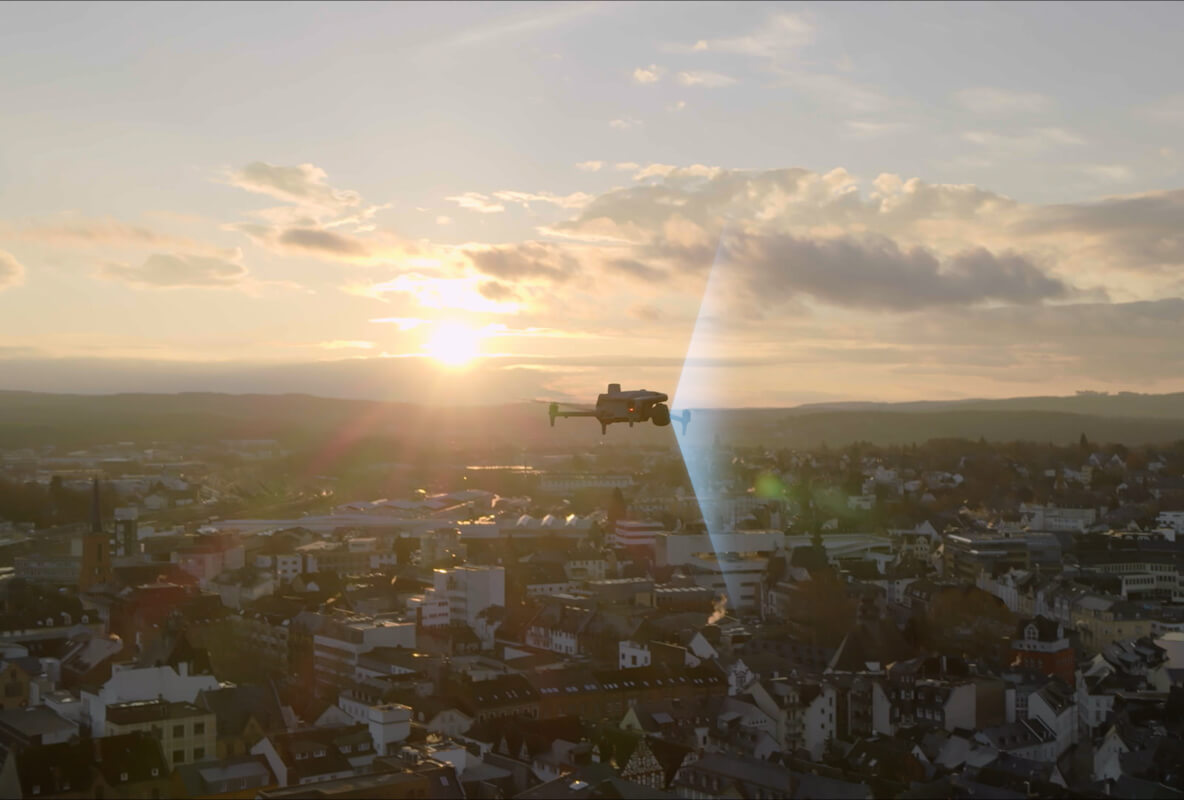
The 4T carries three sensors: a 48MP visible camera, a 640×512 radiometric thermal camera, and a NIR laser rangefinder with 2,000-meter range. The thermal sensor is what defines this platform.
Radiometric thermal is the key specification. It measures and records an absolute temperature value for every pixel in every thermal frame — not just contrast differences, but actual degrees Celsius. For search and rescue, that means you can distinguish a human body (roughly 98.6°F surface temperature) from a warm vehicle or recently occupied structure. For utility inspection, it means you can set temperature thresholds and automatically generate anomaly reports.
The 4T's thermal capabilities in practice:
- Body heat detection at 400–600m for subject identification — sufficient to locate a person in a darkened residential area from a safe perimeter altitude
- 2× and 4× thermal zoom — inspect individual components on a transmission tower from 100m without descending
- NIR laser rangefinder — marks the GPS coordinates of any anomaly, which is essential when you need to direct a ground crew to a specific component
The 4T is the platform of record for agencies running DFR programs, fire departments doing nighttime search operations, and utility companies with transmission and distribution infrastructure. Departments like Chula Vista PD and Mesa County SO have standardized on thermal-equipped Matrice platforms for exactly these reasons.
DJI Matrice 4E: Built for Survey-Grade Planning
The 4E replaces the thermal sensor with a 20MP mechanical shutter survey camera. That mechanical shutter is the specification that matters most for mapping work.
Rolling shutter distortion — the geometric warping that occurs when a CMOS sensor reads a scene sequentially rather than simultaneously — makes photogrammetric reconstruction less accurate. A global shutter (which the 4E's mechanical shutter effectively provides) eliminates this distortion. The result: the 4E produces cleaner, more accurate 3D models and orthomosaics.
Combined with an RTK GPS module, the 4E achieves 1–2cm horizontal accuracy — meeting American Society of Photogrammetry and Remote Sensing standards for survey-grade deliverables. This is not a marginal improvement. For construction progress monitoring, volumetric stockpiles, or boundary surveys that will be used in legal filings, 1–2cm accuracy is the requirement.
The 4E's AI object detection operates on visible imagery only — it cannot detect people or animals thermographically. For surveyors and geospatial professionals who do not need thermal capability, this is not a limitation.
Head-to-Head: Where the Platforms Actually Diverge
| Capability | Matrice 4T | Matrice 4E |
|---|---|---|
| Thermal Sensor | 640×512 radiometric, 45fps | None |
| Visible Camera | 48MP | 20MP mechanical shutter |
| Laser Rangefinder | 2,000m NIR | None |
| RTK Compatible | No | Yes |
| AI Detection | Thermal + Visible | Visible only |
| Primary Value | Field decision support | Survey planning and mapping |
The Decision Framework We Use With Agencies
Choose the Matrice 4T if your primary question in the field is "where is the problem?" — a missing person, an electrical fault, a fire source, a suspect's location. Thermal answers "where" questions in real time, in the dark, without physical access.
Choose the Matrice 4E if your primary question in the office is "what are the dimensions?" — stockpile volumes, as-built documentation, topographic change detection, construction progress. Mapping answers "what and how much" questions with georeferenced precision.
A fire department that also does annual dam inspection is not a thermal-first buyer. A county surveyor who also runs DFR on weekends is not a mapping-first buyer. For mixed-mission agencies, the honest answer is often "both."
Many agencies we work with — particularly county-level departments that cover both emergency response and infrastructure inspection — maintain both platforms. The Matrice 4 series makes this more affordable than previous generations: one airframe family, two payload options, shared batteries and chargers.
The Spec Sheet Does Not Capture Everything
Two specifications that do not appear in the standard comparison table but matter in practice:
DJI FlightHub 2 compatibility: Both platforms integrate with DJI FlightHub 2 for fleet management, pilot scheduling, and live fleet view. If you are already managing a DJI fleet, this operational continuity is worth factoring in.
Serviceability: The Matrice 4's modular design accepts field replacement of most components — gimbal, propellers, battery, landing gear. The Mavic 3 series is not serviceable to the same degree. For agencies that need to keep drones operational with minimal downtime, this is a real operational advantage.
NOVVVX provides agency-level fleet configuration consultation, including evaluation of whether your current Matrice 300 RTK payloads (H20T, XT2) can bridge into the Matrice 4 ecosystem without full re-procurement.